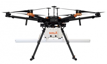

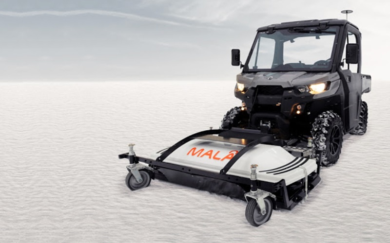
The MIRA HDR is designed to produce superb data quality at high speeds. The wide coverage and the highest channel density on the market mean fewer passes and higher resolution. The MIRA HDR can collect quality data at highway speeds. At lower speeds, the excess data is stacked, producing clearer data while still having the ability to cover tens of hectares per day.
The MIRA HDR is the perfect solution for large-area mapping of underground metallic and/or non-metallic utilities such as pipes, cables, conduits, and ducts. Create detailed 3D maps of the subsurface with the highest resolution on the market and avoid causing damage to installations while excavating.
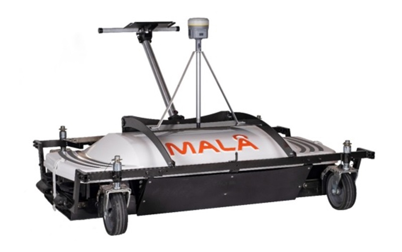
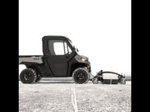 3D GPR Mapping System MALÅ MIRA HDR